About the Catclaw Claims
The 9 Catclaw claims are shown in the following list. The details of the claims can be verified by searching records at the Bureau of Land Management (https://reports.blm.gov/reports/LR2000/)
CAT CLAW #1 – AMC354046
CAT CLAW #2 – AMC354047
CAT CLAW #3 – AMC355277
CAT CLAW #4 – AMC355354
CATCLAW #5 – AMC355375
CATCLAW #6 – AMC355376
CAT CLAW #7 – AMC356330
CATCLAW #8 – AMC363920
CATCLAW #9 – AMC363921
The main area of these claims is west of Lake Pleasant on the border of Maricopa and Yavapai counties, and accessible via N Castle Hot Springs Road. You can view the general area of the claims with this map link: http://gis.azland.gov/webapps/parcel/?loc=-112.5235,33.9371,16&layers=1,3,7
The claims location contains 2 registered wells in the claims area. Registration numbers 640381,640126. One of the wells is active, and the site has APS power.
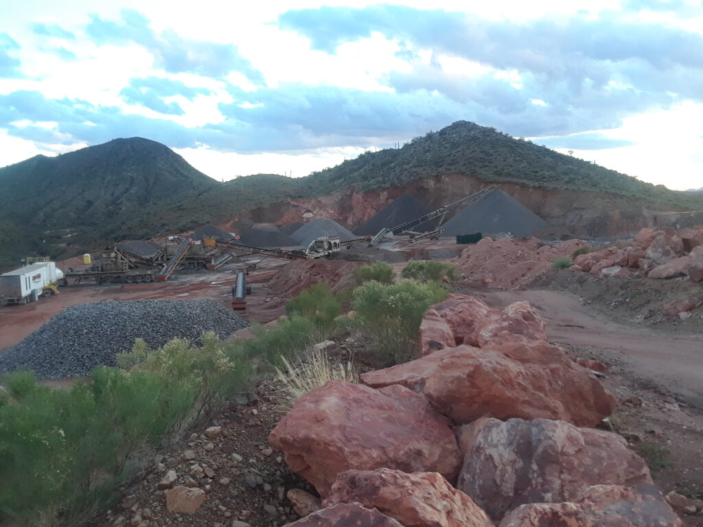
An active gravel and rock pit currently exists within the area of the mineral claims, which provides easy access from N Castle Hot Springs Road into the the central area of the claims.
The location of the claims, the presence of the wells, APS power, and the access to the road already present based on the active gravel pit activity present a unique mining operation opportunity. Please contact us with any questions or interest in these claims.
